VNAV 'Gotchas' - Avoiding Unwanted Level-Offs

RAAF 737-800 Wedgetail transitioning a STAR into YSSY (Sydney Australia)

One aspect of using VNAV during published instrument departures, arrivals, and approaches is that it can cause unnecessary level-offs. 

These level-offs can cause engines to spool needlessly, increase fuel cost and stagger a Continuous Descent Final Approach (CDFA) such as when executing  an RNAV approach. 

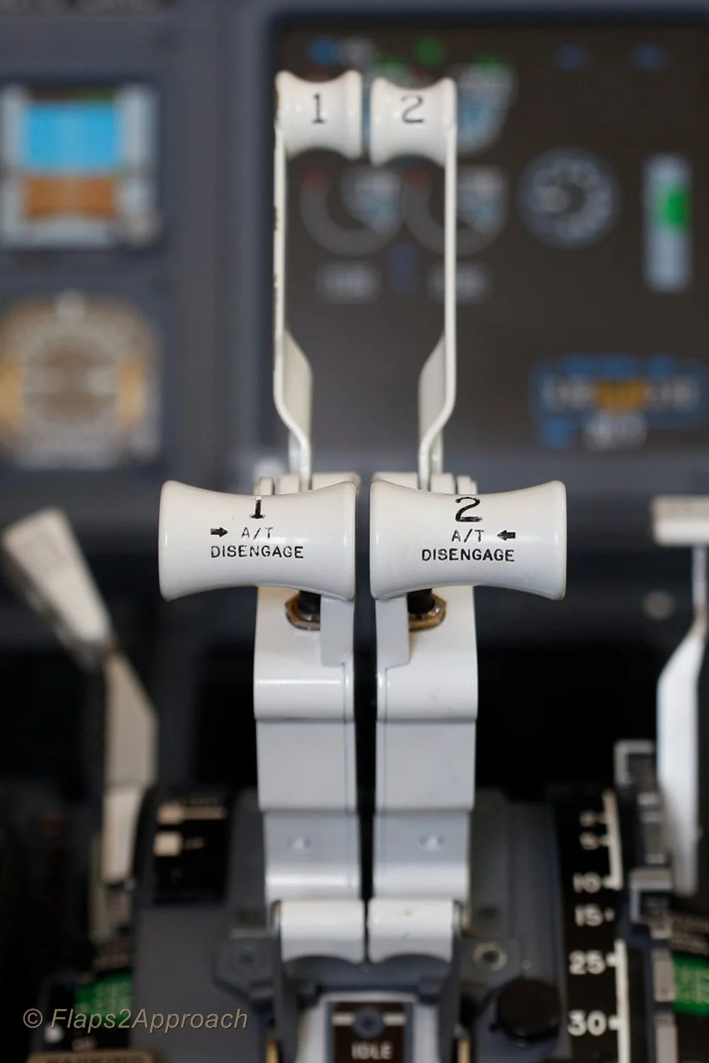
It is not only domestic airliners that must meet altitude constraints; military aircraft also  must meet the same requirements when landing at a non-military airport (click to enlarge).  Image is copyright xairforces.net.  For those interested in flying the Wedgetail, there is a model available for ProSim-AR users on their forum page.

To avoid this, and ensure that minimum altitude constraints are met, two techniques can be used.

METHOD 1Constraints Are Not Closely Spaced.

This technique is normally used when waypoints with altitude constraints are not closely spaced (in other words, there is a moderate distance between altitude constraints).

During climbs, the maximum or hard altitude constraints should be set in the Mode Control Panel (MCP).

Minimum crossing altitudes need not be set in the MCP as the FMC message function will alert the crew if these constraints cannot be satisfied.

During descent, the MCP altitude is set to the next constraint or clearance altitude, whichever will be reached first.

Immediately prior to reaching the constraint, when compliance with the constraint is assured, and when cleared to the next constraint, the MCP altitude is reset to the next constraint/altitude level.

METHOD 2: Constraints Are Closely Spaced.

Where constraints are closely spaced to the extent that crew workload is adversely affected, and unwanted level-offs maybe a concern, the following is approved:

For departures, set the highest of the closely-spaced constraints.

For arrivals, initially set the lowest of the closely-spaced altitude constraints or the Final Approach Fix (FAF) altitude, whichever is higher.

IMPORTANT: When using either technique, the FMS generated path should be checked against each altitude constraint displayed in the CDU to ensure that the path complies with all constraints.  Furthermore, the selection of a pitch mode other than VNAV PTH or VNAV SPD should be avoided, as this will result in the potential violation of altitude constraints.

To enlarge more on VNAV is beyond the scope of this post.  A future post will address this topic in more detail.

Crew Controls Automation - Not Vice Versa

However, the system is only as good as the knowledge of the person pushing the buttons.  It is very important that a flight crew control the automation rather than the automation control the flight crew. 

If VNAV begins to do something that is unplanned or unexpected, do not spend precious time ‘thinking about the reasons why’ – disconnect VNAV and use a more traditional method or hand floy the aircraft.  Then, determine why VNAV did what it did.  The most common comment heard in today's modern cockpits is ‘What is it doing now…

Final Call

VNAV is an easy concept to understand, but it can be confusing due to innumerable variables associated with vertical navigation.  VNAV is probably one of the more complicated systems that virtual and real pilots alike have to understand.  When using VNAV it is paramount to maintain vigilance on what it is doing at any one time, especially during descent and final approach.     Furthermore, it is good airmanship to always have a redundancy plan in place – a ‘what if’ should VNAV fail to do what was anticipated. 

The below article also discuss VNAV:

An interesting article concerning VNAV:

Acronyms and Glossary

  • CDU - Control Display Unit (aka FMC)

  • FAF – Final Approach Fix

  • FMC - Flight Management Computer

  • FMS - Flight Management System.  Supply of data to the FMC and CDU

  • Gotcha - An annoying or unfavorable feature of a product or item that has not been fully disclosed or is not obvious.

  • LNAV – Lateral Navigation

  • MCP – Mode Control Panel

  • NPA - Non Precision Approach

  • VNAV – Vertical Navigation

  • VNAV PTH – Vertical Navigation Path

  • VNAV SPD – Vertical Navigation Speed

RNAV, RNP, LNAV and VNAV Operations - Overview

Collins Mode Control Panel (MCP) showing illuminated LNAV annunciation. This is the mcp used in the simulator. lnav is illiminated

New flyers to the Boeing 737NG often become confused understanding the various terminology used with modern on-board navigational systems.

Although the concepts are easy to understand, the inter-relationship between systems can become blurred when the various types of approaches and departures are incorporated into the navigational system.

This post will not provide an in-depth review of these systems; such a review would be lengthy, confusing and counterproductive to a new virtual flyer.  Rather, this post will be a ‘grass-roots’ introduction to the concept of RNAV, RNP, LNAV and VNAV.  I will also touch on the concept of Performance Based Navigation (PBN).

In the Beginning there was RNAV

RNAV is is an acronym for Area Navigation (aRea NAVigation). 

Prior to complex computers, pilots were required to use established on-the-ground navigational aids and would fly directly over the navaid.  Such a navaid may be a VOR, NDB or similar device.  Flying over the various navaids was to ensure that the flight was on the correct route.  Often this entailed a zigzag course as navaids could not be perfectly aligned with each other in a straight line - airport to airport. 

When computers entered the aviation world it became possible for the computer to 'create' an imaginary navigation aid based on a direction and distance from a ground-based navaid.  Therefore, a straight line could be virtually drawn from your origin to destination and several waypoints could be generated along this line.   The waypoints were calculated by the computer based on ground VORs and positioned in such a way to ensure more or less straight-line navigation.

In essence, RNAV can be loosely defined as any 'straight line' navigation method similar to GPS that allows the aircraft to fly on any desired path within the coverage of referenced NAVAIDS.

Required Navigation Performance (RNP) and Performance Based Navigation (PBN)

Simply explained, Required Navigation Performance (RNP) is a term that encompasses the practical application of advanced RNAV concepts using Global Navigation Satellite Systems (GNSS).

However, there is a slight difference between RNP and RNAV although the principles of both systems are very similar. 

RNAV airspace generally mandates a certain level of equipment and assumes you have a 95% chance of keeping to a stated level of navigation accuracy.  On the other hand, RNP is performance based and requires a level of on-board performance monitoring and alerting.  This concept is called Performance Based Navigation (PBN).

RNAV and RNP both state a 0.95 probability of staying within 1 nm of course.  But RNP (through PBN) will let you know when the probability of you staying within 2 nm of that position goes below 0.99999.  In essence, RNP and PBN enable an aircraft to fly through airspace with a higher degree of positional accuracy for a consistently greater period of time. 

To achieve this level of accuracy a selection of navigation sensors and equipment is used to meet the performance requirements.  A further enhancement of this concept is the use of RNP/ANP (Required Navigation Performance and Actual Navigation Performance.  Advanced RNAV concepts use this comparative analysis to determine the level or error between the required navigation (the expected path of the aircraft) and the actual navigation (what path the aircraft is flying.)  This information is then displayed to the flight crew.

LNAV and VNAV

LNAV and VNAV are parts of the Flight Guidance System, and are acronyms for Lateral Navigation and Vertical Navigation'.  Both these functions form part of the automation package that the B737NG is fitted with.

LNAV is the route you fly over the ground. The plane may be using VORs, GPS, DME, or any combination of the above. It's all transparent to the pilot, as the route specified in the clearance and flight plan is loaded into the Flight Management System (FMS), of which the Flight Management Computer (FMC) is the interface.

The route shows up as a magenta line on the Navigation Display (ND), and as long as the LNAV mode on the Mode Control Panel (MCP) is engaged and the autopilot activated, the aircraft will follow that line across the ground. LNAV however, does not tell the plane what altitude to fly, VNAV does this.

VNAV is where the specified altitudes at particular waypoints are entered into the FMS, and the computer determines the best way to accomplish what you want.  The inputs from VNAV are followed whenever the autopilot is engaged (assuming VNAV is also engaged).  

The flight crew can, if necessary alter the VNAV constraints by changing the descent speed and the altitude that the aircraft will cross a particular waypoint, and the computer will re-calculate where to bring the throttles to idle thrust and begin the descent, to allow the aircraft to cross the waypoint, usually in the most economical manner.

VNAV will also function in climb and take into account airspeed restrictions at various altitudes and will fly the aircraft at the desired power setting and angle (angle of attack) to achieve the speed (and efficiency) desired.

There is not a fast rule to whether a flight crew will fly with LNAV and VNAV engaged or not; however, with LNAV and VNAV engaged and the autopilot not engaged, LNAV and VNAV will send their signals to the Flight Director (F/D) allowing the crew to follow the F/D cue display and hand fly the aircraft the way the autopilot would if it were engaged.

Reliance on MCP Annunciators

Flight Mode Annunciator (FMA) showing LNAV and VNAV Path Mode engaged.  The Flight Director provides a visual cue to the attitude of the aircraft while the speed is controlled by the the FMC.  CMD indicates that the autopilot is engaged (ProSim737 avionics suite)

LNAV and VNAV have dedicated annunciators located on the Mode Control Panel (MCP).  These annunciators illuminate to indicate whether  a particular mode is engaged. 

However, reliance on the MCP annunciators to inform you of a mode’s status is not recommended.  Rather, the Flight Mode Annunciator (FMA) which forms part of the upper area of the Primary Flight Display (PFD) should be used to determine which modes are engaged.  Using the FMA will eliminate any confusion to whether VNAV (or any other function) is engaged or not.

This post explains the Flight Mode Annunciators (FMA) in more detail.

Final Call

RNAV is a method of area navigation that was derived from the use of VOR, NDBs and other navaids.  RNP through it use of GNSS systems has enabled Area Navigation to evolve to include LNAV and VNAV which are sub-systems of the Flight Guidance System -  LNAV is the course across the ground, and VNAV is the flight path vertically. 

Historically, navigation has been achieved successfully by other methods, however, the computer can almost always do things better, smoother and a little easier – this translates to less workload on a flight crew.  

In my next post, we will discuss RNAV approaches and how they relate to what has been discussed above.

References

The information for this article came from an online reference for real-world pilots.

Acronyms and Glossary

  • Annunciator – Often called a korry, it is a light that illuminates when a specific condition is met

  • DME – Distance Measuring Equipment

  • FMA - Flight Mode Annunciator

  • FMC – Flight Management Computer

  • FMS – Flight Management System

  • GPS – Global Positioning System

  • GNSS - Global Navigation Satellite System

  • LNAV – Lateral Navigation

  • MCP – Mode Control Panel

  • ND – Navigation Display

  • NPA - Non Precision Approach

  • PBN - Performance-based Navigation

  • RNAV – Area Navigation

  • RNP - Required Navigation Performance

  • VNAV – Vertical Navigation

  • VNAV PTH – Vertical Navigation Path

  • VNAV SPD – Vertical Navigation Speed

  • VOR – VHF Omni Directional Radio Range